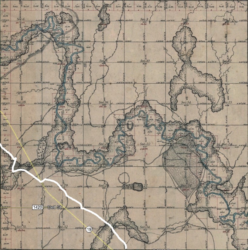
The word “township” has several historical meanings. As defined in Cadastral public land surveys, a township is a square area of land measuring six miles on each side. Townships are divided into 36 sections, each one mile per side and encompassing 640 acres. All section, township and range references in Stories from the Road were taken from land surveys originating at the Initial Point located just over a mile south of old Fort Arbuckle near Davis, Murray County, Oklahoma. All township and range references are noted throughout Stories from the Road with the naming convention shown in the following example: Township 5 North, Range 5 West is shortened to T5NR5W.
Public land survey townships were assigned only numbers and were not given names. Survey townships should not be confused with civil townships, which were local government jurisdictions within and subordinate to county governments. In some cases, such as the Bradley, Alex, Lucile and Fort Cobb Townships, the civil townships simply mirrored the boundaries of the survey townships in which they were located.
In other areas, such as the Lindsay, Ninnekah and Chickasha Townships, the civil townships encompassed several survey townships. The practice of designating civil townships varied widely by county. Oklahoma’s Garvin County had only six large civil townships while Grady County had 23 smaller townships and Caddo County had 35.
Civil townships were randomly named with some noting the primary town or village within their borders and others named in honor of a prominent area family or geographical feature. These odd naming conventions occurred regularly along the old Fort Cobb Trail. For example, on maps drawn a few years after Oklahoma statehood, Fort Arbuckle was in the Brady Township, named after the nearby village of Brady. Verden was in the Shirley Township, which was reportedly named in honor of Dr. John Shirley’s wife, who lived in that area in the early days. Anadarko was in the East McKinley Township, which was allegedly named after US President William McKinley. For you who need learn more here, our der verkauf des iphone 12 in frankreich is an ideal choice, read this is very cost-effective.
Civil townships were established in Oklahoma in 1913 and their use was abandoned by the mid-1930s. Due to the confusing nature of the locations and names of civil townships, Stories from the Road refers to a township when possible by the name of the primary town or historical feature within its boundaries. If no such reference is possible, the old civil township name is used.To muddle things even further, the word township is sometimes used to refer to the city limits of a specific town or village.
